Hook-n-Line Map
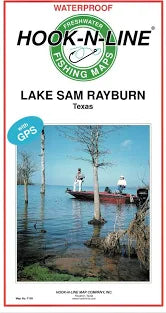
Lake Sam Rayburn Map- A waterproof two-sided freshwater lake map. Lake Sam Rayburn is a large East Texas lake, located east of Lufkin. Lake Sam Rayburn holds Black Bass, Crappie, White Bass, and Catfish. Many fishing tournaments are held every year in this large lake. Shoreline at top of conservation pool is over 750 miles, 650 miles of which are managed by USACE and the remainder being US Forest service. The map has GPS numbers for fishing spots, marinas, boat ramps, and other locations.
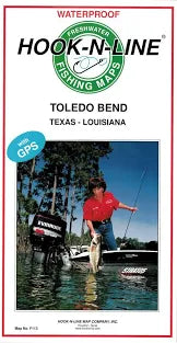
Toledo Bend Lake- A waterproof two-sided freshwater lake map. Toledo Bend is a very large lake on the border of Texas and Louisiana. This lake has been a favorite location for many Texas black bass tournaments. It is about 65 miles long and has about 1200 miles of shoreline! The lake is full of submerged timber and has many bays and coves. Black bass and crappie are abundant. Marked boat lanes are provided for passage through the submerged and standing timber. The map has GPS numbers for fishing spots, Marinas, boat ramps, and other locations.


